Plum Island Estuary Model
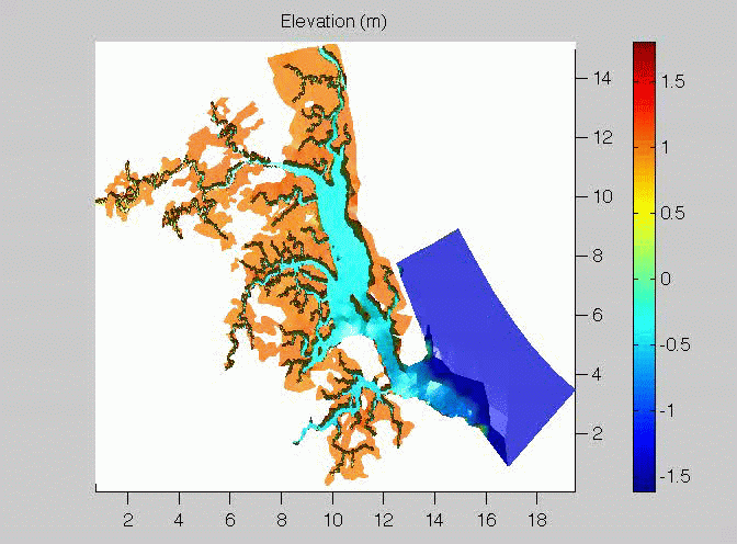
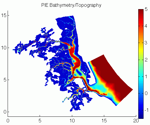
Below are some preliminary model runs using the geometry for Plum Island Estuary and FEMLAB. Note, model was run with an simulated bathymetry/topography.
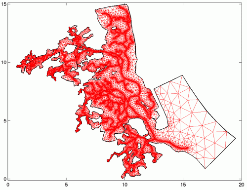
The mesh below consists of 85228 triangular elements with 43865 nodes. This level of meshing is necessary to resolve the tidal creeks and rivers that are fundamental modes of transport in estuaries. The resolution of the mesh is high near creek/river banks, and low on the marsh platform.
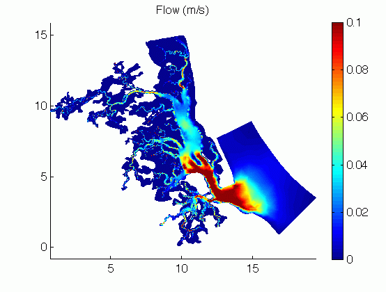
Below is the flow field during the start of a ebb tide.